
El Niño 2026/27 Snow Season Explained
A very strong El Niño is building in the Pacific, and it’s likely to shape the northern hemisphere winter. The US Climate Prediction Center puts the chance of a very strong event at better than 90%, and it could be the strongest in records going back to 1950.
That sounds dramatic, but a strong El Niño doesn’t mean a bad El Niño 2026/27 snow season. It shifts the odds, and not all in one direction. Some regions are more likely to have a lighter winter, while others, like California and Utah, are more likely to have a bigger one.
Here’s what El Niño is, what forecasters are saying for Japan, Canada and the USA, and what past El Niño winters have delivered.
WHAT IS EL NIÑO?
El Niño is when the ocean along the equator in the Pacific warms up more than usual. It comes around every two to seven years, and because it’s such a huge patch of warm water, it nudges weather patterns right around the world.
For skiers, it doesn’t decide whether a season is good or bad. It tips the balance. In North America, it tends to push more storms across the southern states. In Japan, it tends to weaken the icy winds from Siberia that bring the country its famous powder.
Even the experts are careful here. The Climate Prediction Center says a strong El Niño makes these patterns more likely, not certain. The last really big one, in 2015/16, surprised plenty of people. Tahoe had a fairly average year, while Whistler’s upper mountain had its 11th snowiest winter in 51 years.
JAPAN
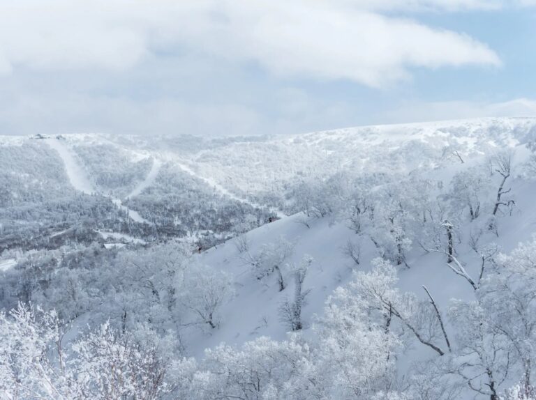
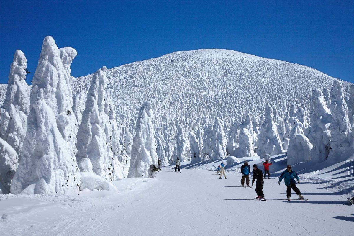
Japan’s official weather agency is expecting a milder winter than usual. Lighter snow is most likely in central Honshu, home to Hakuba, Nozawa Onsen and Myoko. Up in Hokkaido, it’s an even call between a normal winter and a lighter one.
It’s worth keeping in perspective. Japan gets so much snow that a lighter year there is still a big year by most standards. In 2015/16, the last very strong El Niño, central Honshu had a leaner season, yet Myoko still recorded almost nine metres. Niseko finished close to its average, and Furano topped eight metres.
HOKKAIDO: NISEKO, FURANO, RUSUTSU AND KIRORO
Hokkaido sits further north and stays colder, so El Niño has less effect there. Records from Kutchan, the town next to Niseko, show El Niño winters have averaged only about 6% less snow than other years. January and February, the heart of powder season, don’t lean either way.
HONSHU: HAKUBA, NOZAWA ONSEN, MYOKO, SHIGA KOGEN AND MORE
On the main island, the bigger risk is warmth rather than a lack of storms, which can mean rain on the lower slopes.
Elevation makes a difference. Shiga Kogen reaches 2,307 metres, the highest ski area in Japan, and tends to hold up better when warm weather hits other Nagano and Niigata resorts. Timing matters too. OpenSnow’s forecast gives January the best odds on Honshu, and it’s already peak powder season, as we cover in our Japan vs Canada guide.
CANADA
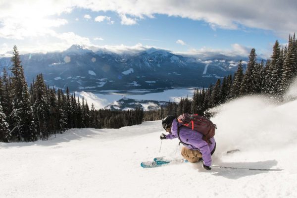
Canada’s forecast leans lighter than usual across British Columbia and the Rockies, because El Niño tends to bring warmer weather. But there’s an important catch. Most of the snow El Niño takes away falls at low levels, close to the sea, not up where people ski. A look at long-running Canadian weather records found the effect all but disappears above 700 metres.
WHISTLER
Whistler has a weather station high on the mountain with more than 50 years of records. In each of the three biggest El Niño winters, it recorded normal or better snowfall, and 2015/16 finished with one of its deepest snowpacks on record. Its worst winter in that time came during a weak El Niño, and its best during La Niña, a reminder that the Pacific doesn’t decide every season. The village sits at 675 metres, well below the station, so it’s more likely to see rain.
BIG WHITE, SUN PEAKS AND SILVERSTAR
The picture here is mixed. Canada’s official model leans drier for the Okanagan. But OpenSnow notes these resorts can hold up relatively well, because storms coming up from the south reach them more easily. The high weather stations at Sun Peaks and SilverStar have recorded near or above-normal snowfall in past strong El Niño winters, though their records are shorter.
REVELSTOKE, KICKING HORSE, FERNIE AND RED MOUNTAIN
These resorts tend to have lighter El Niño winters. Revelstoke and Kicking Horse usually run drier, while Fernie and Red Mountain are more exposed to warm spells, when rain can fall lower down the mountain. Fernie’s weather station shows how much El Niño winters can vary, with an above-average 1982/83, a lighter 1997/98 and a very lean 2015/16.
BANFF SUNSHINE, LAKE LOUISE AND MARMOT BASIN
The Rockies are also forecast to have a lighter winter. But these resorts are higher and colder than most, so they cope better with warm spells, and the last two similar winters there finished closer to average. OpenSnow gives March a slightly better signal here, with April tending to run dry.
USA
NOAA’s official winter outlook, updated on 17 September, favours a wetter winter across California, the Southwest and the southern Rockies, the strongest signal on its map. The northern states lean drier and warmer. OpenSnow’s forecast follows the same north-south split.
History backs that up, with a caveat. In the three biggest El Niño winters, Palisades Tahoe’s peak snowpack averaged nearly double its normal, and Vail’s came in about a quarter above. But 2015/16 was ordinary across much of the West, with Tahoe finishing right on normal. After last season, one of the West’s worst on record, even an average year would be a step up.
THE SOUTH: CALIFORNIA, UTAH, COLORADO AND NEW MEXICO
California has the strongest signal, particularly in the Central Sierra around Mammoth, with the best snow usually arriving from January to March. OpenSnow also leans towards a bigger winter in Utah, including Park City, Alta and Snowbird, though snowpack records place Utah closer to the dividing line. In Colorado, Telluride and Winter Park lean towards more snow, while Vail, Aspen and Breckenridge could go either way. Taos in New Mexico is also favoured. The main risk is warm storms bringing rain to the lower slopes.
THE NORTH: WYOMING, MONTANA, OREGON AND ALASKA
Montana has the driest signal on NOAA’s map, and forecasters expect a slower start at Big Sky and Whitefish. Jackson Hole and Grand Targhee have finished close to average in past big El Niño winters. In Oregon, Mt Bachelor has swung between big and lean El Niño winters, and in Alaska, Alyeska has tended to do well on its upper mountain.
WHAT HAPPENS NEXT
Seasonal forecasts give a big-picture view. They can’t say how much snow a particular resort will get, or which week will bring the powder. That still comes down to the weather forecast a week or so out.
The outlooks will be updated as winter gets closer. The Climate Prediction Center’s next El Niño update is on 8 October, and Japan’s weather agency refreshes its outlook around the 25th of each month.